 AZ Ultra Adventure
On this page
- Canyons 100 at a glance
- Golden Tickets, Stones and the confusion around both
- The course, told the way your crew will live it
- Aid stations and cutoffs (final 2026 chart)
- Crew guide: five stops, and the parking rules that can DQ your runner
- Pacers
- Poles: decide at the start line
- Mandatory gear
- What the reports say that the website doesn't
- The finish line is decided here
- Gear for this course
- The van idea
- Canyons 100 FAQ
- More guides for this race and this trail
Most hundreds start at dawn. Canyons starts at noon.
That one detail changes everything about this race. You run the hottest hours of the first day straight down into the American River canyons, climb out of them in the evening, run Cal Street and the river in the dark, and then, when a normal hundred would be winding down, you face the hard second half: the K2 climb out of No Hands Bridge, the Cool loops, and a final 26.8 miles where no crew is allowed at all. The clock stops at 11:00 PM Saturday. A second sunset is part of the plan for most of the field.
The Canyons Endurance Runs started as a 100K on the Western States trail and became a UTMB World Series race in 2022, with a 100-mile added in 2023. In 2027 it's an Americas Major, which means the 100-mile is a direct path to the UTMB World Series Finals in Chamonix and pays double Running Stones. It is not, despite what a lot of forum posts assume, a Western States Golden Ticket race at the 100-mile distance. Those tickets go to the 100K. More on that below.
I haven't run Canyons. This guide is built from the race's official 2027 race page, registration page and regulations, the final 2026 aid station chart (the 2027 chart, runner guide and crew guide aren't posted yet; the race says crew details come 6 to 8 weeks before race day), the 2026 spectator guide, iRunFar coverage and finisher reports. The course has changed every single year, so treat the table as a 2026 baseline and check the 2027 chart when it drops.
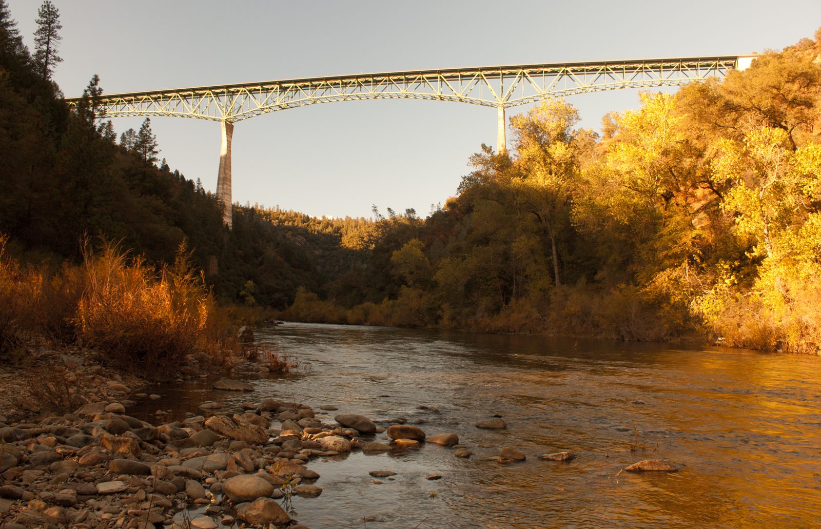
Canyons 100 at a glance
| Date | Friday, April 23, 2027, 12:00 noon start. Race weekend runs April 22 to 25 |
| Time limit | 35 hours (11:00 PM Saturday), with cutoffs you must leave each station by |
| Start | China Wall Trailhead, above Foresthill. Runner shuttle only, from the Gold Country Fairgrounds in Auburn |
| Finish | High Street, downtown Auburn, CA |
| Distance / climb | 161 km and 5,550 m (about 18,200 ft) of climbing, about 22,000 ft of descent, per the 2027 race page. The same page also says "approximately 17,000'" in one spot. The final 2026 chart measured 100.3 miles and about 18,000 ft |
| Entry | First come, tiered pricing, no lottery and no UTMB Index requirement. In 2027 the 100M is $513.67 plus $55.09 in fees. Minimum age 18. No refunds, one deferral allowed until March 24, 2027. Online registration closes April 18, 2027 |
| UTMB | 2027 Americas Major: direct entry to the UTMB Finals for qualifying finishers, 8 Running Stones (doubled) |
| Western States | The 100M finished under 35 h is a WSER qualifier (for the 2028 lottery). No Golden Tickets for the 100M |
| Recent finish rates | 2024: 186 of 291 starters (64%). The 2023 heat took out roughly half the field |
| Fastest times | Ferdinand Airault 16:18:13 (2025), Lin Chen 18:33:15 (2025). The course changes yearly, so "course record" means "best mark on that year's course" |
| Other races that weekend | 100K (Saturday 5 AM, China Wall to Auburn, 20 h limit in 2026), 50K and 25K from Auburn |
| Official pages | canyons.utmb.world, 100M race page, registration, runner guide, crew page |
Golden Tickets, Stones and the confusion around both
Canyons gets talked about as "the Western States race," and it is run on the WSER trail from Michigan Bluff to Auburn. But for 2027:
- Western States Golden Tickets go to the 100K only: the top 3 women and top 3 men. If someone declines, the ticket rolls down, but never past 5th. Winners have two weeks to register and can't defer.
- The 100-mile is a WSER qualifier, not a ticket race. Finish under 35 hours and it counts for the 2028 Western States lottery. (A 2025 article said 36 hours. The official 2027 page says 35. Go with 35, and since the race limit is also 35, any official finish qualifies.)
- The 100-mile is the UTMB play. As a Major, it gives a direct path to the World Series Finals, and the race home page says the top 10 per gender in the 100M, 100K and 50K qualify automatically. It's also worth 8 Running Stones in 2027.
If your goal is Western States through the ticket route, run the 100K. If you want a Western States qualifier and you also want to see the WSER trail at night, the 100-mile is the one. Our qualifier guide lists the other Southwest options, and the Western States guide covers the lottery itself.
The course, told the way your crew will live it
The useful way to understand Canyons isn't mile by mile. It's by crew stop, because the gaps between the places your people can reach are what you actually have to plan for. The route in 2026 went: China Wall, down Mitchell Mine Road into El Dorado Canyon, up to Deadwood, out and back to the Swinging Bridge under Devil's Thumb, Michigan Bluff, Volcano Canyon to Foresthill, Cal Street down to the river, Driver's Flat, Mammoth Bar, Confluence, No Hands Bridge, the K2 climb to Cool, two loops out of Cool, across Highway 49 to the Quarry Trail, Browns Bar, ALT, American Canyon, back across No Hands, and up Robie Point to the finish.
Leg 1: China Wall to Michigan Bluff (mile 0 to 22.6). Alone, in the heat, in the canyons
Your crew can't come to the start. Runners ride the shuttle from the Gold Country Fairgrounds (it ran 9:45 to 10:45 AM in 2026), and the first place anyone can hand you anything is Michigan Bluff at mile 22.6.
This is the leg that sets up your whole race. It opens with a long drop into El Dorado Canyon (the 2026 chart shows about 2,900 ft of descent and 2,200 ft of climb in the first 11.2 miles), then Deadwood, then the out-and-back to the Swinging Bridge and the climb everyone talks about: about 1,740 ft in 2.3 miles back up to Deadwood, the Devil's Thumb wall. Then another canyon down to El Dorado Creek and the climb into Michigan Bluff.
You're doing all of this between noon and early evening, in canyons that hold heat. That's why the first two cutoffs matter: Deadwood-2 at 6:30 PM and Michigan Bluff at 7:45 PM in 2026. They're not soft. The Deadwood-2 cutoff was added during the 2026 cycle.
Leg 2: Michigan Bluff to Foresthill (22.6 to 28.5). The Volcano Canyon grind
Short on paper, 5.9 miles, but it drops into Volcano Canyon and climbs back out to Foresthill, and runners report getting there with only half an hour on the cutoff (9:30 PM in 2026). Foresthill is your first drop bag and the last time you'll see your crew before a long night section. Headlamps on here if they aren't already.
Leg 3: Foresthill to Driver's Flat (28.5 to 46.0). Cal Street at night, and a crew ban
Cal Street is the famous fast downhill to the river, and finishers describe it as runnable apart from a few climbs. You'll run most of it in the dark. Cal 2 (mile 36.7) sits in the middle and crew are banned there; showing up can get your runner disqualified and banned. Then 9.3 miles along the river to Driver's Flat at mile 46, cutoff 3:00 AM.
Watch the markings on this leg. One finisher's log describes a wrong turn around mile 37 that added five or six bonus miles. The race's rule is simple: if you haven't seen a reflective marker in a while, go back to the last one.
Leg 4: Driver's Flat to Cool-1 (46.0 to 61.3). The river, Confluence, No Hands and K2
Mammoth Bar (53.9, cutoff 5:30 AM) and Confluence (57.6) have no crew. Then No Hands Bridge, a water stop, and K2: about 1,150 ft of climbing in 3 miles up to Cool. You'll probably hit K2 near dawn. Cool-1 (61.3, cutoff 8:00 AM) is a drop bag, your crew, and the first place a pacer can join.
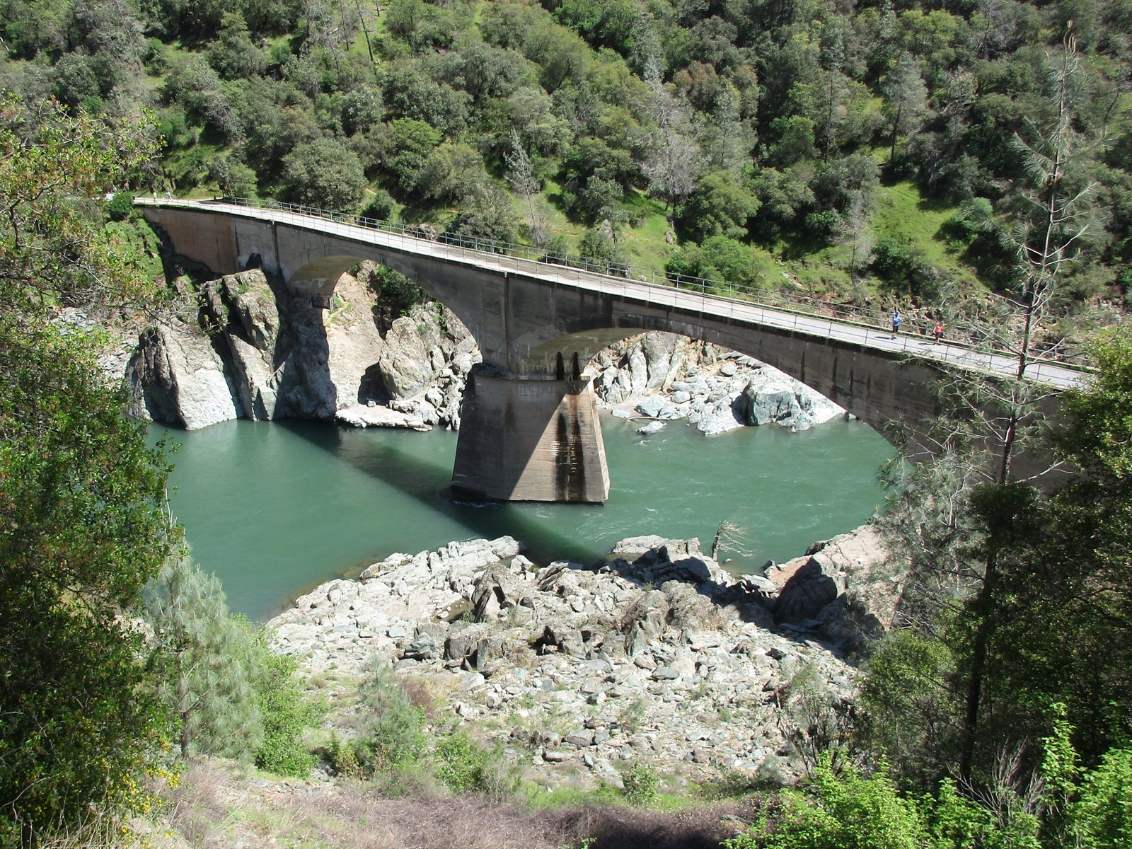
Leg 5: The Cool loops (61.3 to 73.5). Twelve miles with water only
Out of Cool-1 you run two loops past the Coffer Dam water stops (water only, at about 63 and 67.6) and return to Cool-2 at mile 73.5 (cutoff 12:00 PM Saturday). It's 12.2 miles of exposed, rolling oak and grass, and it's now mid-morning on day two.
Leg 6: Cool-2 to Auburn (73.5 to 100.3). Nobody can help you
This is the part of Canyons the website mentions and almost nobody plans for: after Cool-2, there's no crew access for the last 26.8 miles. Across Highway 49, the Quarry Trail, Browns Bar (77.7), a long leg to ALT (83.1, cutoff 3:30 PM), back to Browns Bar (90.7), a hydration stop at No Hands-2 (96.8), and the climb up Robie Point and through town to High Street. Cutoff: 11:00 PM.
Your pacer can be with you, but your crew can't. Whatever you need for the last 27 miles, you take from Cool-2.
Aid stations and cutoffs (final 2026 chart)
From the race's 100-mile aid station chart, revised April 22, 2026. The 2027 chart isn't out. Mileages shifted between revisions (an earlier version measured 101.8 miles with two Devil's Thumb water stops that the final version dropped), so expect changes. Cutoffs are departure times; the race started at noon Friday.
| Station | Mile | To next | Climb / drop to next | Leave by | Drop bag | Crew | Pacer | Notes |
|---|---|---|---|---|---|---|---|---|
| China Wall (start) | 0 | 11.2 | +2,203 / −2,898 ft | Noon Fri | No | Shuttle-only start | ||
| Deadwood 1 | 11.2 | 2.3 | +152 / −1,740 | No | No | No | Then the drop to Swinging Bridge | |
| Swinging Bridge (turnaround) | 13.5 | 2.3 | +1,740 / 0 | The Devil's Thumb climb | ||||
| Deadwood 2 | 15.8 | 6.8 | +1,795 / −2,638 | 6:30 PM | No | No | No | El Dorado Canyon next |
| Michigan Bluff | 22.6 | 5.9 | +1,173 / −1,367 | 7:45 PM | No | Yes | No | First crew. Volcano Canyon next |
| Foresthill | 28.5 | 8.2 | +725 / −2,311 | 9:30 PM | Yes | Yes | No | Night kit here |
| Cal 2 | 36.7 | 9.3 | +1,725 / −1,727 | No | Banned | No | Crew here = disqualification | |
| Driver's Flat | 46.0 | 7.9 | +984 / −2,050 | 3:00 AM | No | Yes | No | Walk-in crew spot |
| Mammoth Bar | 53.9 | 3.7 | +679 / −718 | 5:30 AM | No | No | No | |
| Confluence | 57.6 | 0.7 | +189 / −184 | No | No | No | ||
| No Hands 1 | 58.3 | 3.0 | +1,156 / −219 | No | Hydration only. K2 climb next | |||
| Cool 1 | 61.3 | 1.7 | +70 / −158 | 8:00 AM | Yes | Yes | Yes | Pacers may join |
| Coffer Dam 1 | 63.0 | 4.6 | +947 / −947 | No | Water only | |||
| Coffer Dam 2 | 67.6 | 5.9 | +708 / −620 | No | Water only | |||
| Cool 2 | 73.5 | 4.2 | +259 / −1,020 | 12:00 PM | Yes | Yes | Yes | Last crew of the race |
| Browns Bar 1 | 77.7 | 5.4 | +947 / −261 | No | No | |||
| ALT | 83.1 | 7.6 | +675 / −1,361 | 3:30 PM | No | No | Longest late leg follows | |
| Browns Bar 2 | 90.7 | 6.1 | +1,009 / −1,185 | No | No | |||
| No Hands 2 | 96.8 | 3.5 | +907 / −227 | No | Hydration only. Robie Point climb | |||
| Finish, Auburn | 100.3 | 11:00 PM Sat | High Street |
Two rules that come with this table:
- Leave late, and it's not just a DNF. Under the UTMB regulations, leaving a station after its cutoff means disqualification and a two-year ban from the UTMB World Series.
- No cups. UTMB races don't hand out cups or plates. The mandatory 150 ml collapsible cup is how you get soup and soda.
Crew guide: five stops, and the parking rules that can DQ your runner
Your crew gets five chances: Michigan Bluff (22.6), Foresthill (28.5), Driver's Flat (46.0), Cool-1 (61.3) and Cool-2 (73.5), plus the finish. Everything else is off limits, and the race is strict about it. The 2026 rules, from the regulations and spectator guide:
- One assistant per runner in the aid area, handing over at most a 30-liter bag.
- Crew help is allowed only within 500 m either side of the aid station. Crew can do minor care (blisters, a massage) while the runner is seated, but nothing medical beyond that.
- No crew at Deadwood, Devil's Thumb, Cal 2, Mammoth Bar, Confluence, Browns Bar or ALT. Cal 2 in particular is a disqualification offense.
- No crew at the start. Runners take the shuttle from the Gold Country Fairgrounds, 209 Fairgate Road, Auburn.
- Illegal parking at Foresthill can get your runner disqualified. That's in the guide, not a joke.
How to get to each crew point
| Crew point | Mile | Where to park | Walk | Notes |
|---|---|---|---|---|
| Michigan Bluff | 22.6 | Chicken Hawk Road (no parking on Michigan Bluff Road) | About ½ mile | Tiny historic town at the end of a narrow, winding paved road. Cell signal is very poor here; a second carrier helps |
| Foresthill | 28.5 | Legal spots in town only. Not on Church Street, not in front of Foresthill Elementary, businesses or homes | Varies | Arrive early and carpool. About 17 miles from Auburn on Foresthill Road over the Foresthill Bridge |
| Driver's Flat | 46.0 | Fee lot at Foresthill Divide Loop Trailhead 1, or along Foresthill Road. Not on Driver's Flat Road | About ½ mile | You'll be there between roughly midnight and 3 AM. Bring a headlamp for the walk |
| Cool 1 and Cool 2 | 61.3 / 73.5 | St. Florian Court next to the Olmstead Loop Trailhead, off Highway 193 | Short | Crew area behind a runner barrier. Same spot twice, about 12 miles apart |
| Finish | 100.3 | Downtown Auburn / fairgrounds shuttle | Shuttles looped fairgrounds and Basecamp every 20 to 30 minutes until 1:30 AM Sunday in 2026 |
Drive times (my estimates from the map, not race numbers; give yourself extra in the dark): Michigan Bluff to Foresthill about 15 to 20 minutes; Foresthill to Driver's Flat about 10 to 15; Driver's Flat to Cool about 30 to 35 through Auburn and down Highway 49; Cool to the Auburn finish about 15.
The crew timeline that actually matters. The long gap is Driver's Flat (around midnight to 3 AM) to Cool-1 (dawn to 8 AM). That's the window to sleep. Nobody needs to wait at Michigan Bluff for hours: the runner's arrival is roughly predictable from Foresthill splits, and LiveTrail only shows checkpoint times (not GPS), with updates that can lag up to two hours because of cell coverage. Build the plan on paces, not on the tracker.
No overnight parking or car camping at the venues in 2026. If you're crewing, sleep somewhere you've booked, or in a vehicle parked legally away from the race sites. This is where a van parked in a legal spot near Cool, rather than a car seat at a trailhead, earns its keep.
Cool-2 is the most important crew stop of the race. It's the last one, it's late morning on day two, and your runner is about to go 26.8 miles with no help. Have the afternoon kit ready to hand over: sun hat and sleeves, ice, a full refill, enough calories for 8 to 10 hours, and both headlamps with fresh batteries (the mandatory kit requires two anyway). Then send them out of the chair.
Pacers
From the 2026 rules:
- 100-mile only. Up to two pacers, but only one with you at a time.
- Pacers join at Cool-1 or Cool-2. None before mile 61.
- Pacers must be 18 or older and pick up their own bib at Basecamp or at Cool.
- Pacers carry the full 100-mile mandatory kit and can't carry your supplies (no muling).
The pacer that matters most is the one who starts at Cool-2. They'll be the only person with your runner for the last 27 miles, from early afternoon into the dark. If you only have one pacer, start them at Cool-2. Our pacer handbook covers the job.
Poles: decide at the start line
Poles are allowed at Canyons, but the UTMB equipment rules say if you use them, you carry them from the start. Picking poles up later costs a one-hour penalty, and poles can't go in drop bags. So the usual Arizona move, "grab poles at the crew stop before the big climb," doesn't apply here.
Where they'd help:
- The Devil's Thumb climb back to Deadwood (mile 13.5 to 15.8, about 1,740 ft in 2.3 miles), the steepest sustained climb of the race.
- El Dorado Canyon to Michigan Bluff and Volcano Canyon to Foresthill, back-to-back canyon climbs in the evening.
- K2 out of No Hands Bridge to Cool (about 1,150 ft in 3 miles, near dawn).
- Browns Bar to No Hands and Robie Point late in the race, when legs are gone.
My read: if you train with poles, start with them; you'll use them on the climbs that decide your first cutoffs. Collapsible poles that stow on a vest are the right call because much of Cal Street and the river is runnable and you'll want your hands free. If you don't train with them, don't start now. Our trekking poles guide goes deeper.
Mandatory gear
The 2026/2027 UTMB North America equipment list for the 100-mile includes:
- Pack, and a phone that's not in airplane mode (15-minute penalty)
- Collapsible cup, 150 ml or more
- At least 1 liter of water
- Two headlamps with spare batteries
- About 800 kcal of reserve food
- A hooded waterproof jacket and a hat
- Survival blanket and whistle
- A Hot Weather Kit (sunglasses, SPF 50 sunscreen, 2 liters of water capacity) or a Cold Weather Kit (waterproof pants, gloves, a second warm layer and more) can be required a few days before the race, depending on the forecast
Read the current list on the race site before you pack. Kit checks are real at UTMB events.
What the reports say that the website doesn't
There's surprisingly little forum chatter on the 100-mile (it's only four editions old), so these come from race reports, iRunFar coverage and the race's own documents.
- The weather is a coin flip. Auburn's April averages are mild (highs in the high 60s, lows in the 40s), but recent editions have been everything: 2023 was hot enough to take out roughly half the field, 2024 was cold and wet, 2025 brought a rainy storm and the Cold Weather Kit was required, and 2026 was cool enough that the course was rerouted for weather. Pack both kits and decide the week of.
- Run the canyons like a 100, not a 50. A common theme in reports: the first 23 miles feel short, and runners spend too much in the heat getting to Michigan Bluff. Easy on the descents to El Dorado Canyon; the quads you save there are the ones you need on Cal Street.
- The early cutoffs are the tight ones. Volcano Canyon is where runners report getting squeezed. The back half has more cushion for steady runners, but only if you get through Foresthill with a margin.
- The course isn't the same race twice. 2023 used loops because of record snow, 2024 changed significantly, 2025 changed slightly, and 2026 had a late weather reroute. Old GPX files and old splits are only rough guides.
- Poison oak is everywhere. The runner guide tells you to wash with dish soap or a poison oak wash, in cool water, not hot. Pack it for after the race.
The finish line is decided here
The DNF zone is the first 30 miles. Running noon heat in the canyons with no crew until mile 22.6, then a tight Volcano Canyon cutoff, is where races end. Get out of Foresthill with an hour in hand and your odds go way up.
The second danger zone is Cool-2 at noon on day two. You've been up for 30-plus hours, it's warm, you're sitting in a chair with your crew, and ahead is 26.8 miles with no one to meet you. The chair is the enemy here. Fill everything, eat something real, and go.
Once you leave ALT (mile 83.1) on time, you're very likely finishing. After that it's 17 miles with a generous margin to an 11 PM cutoff. Get to Browns Bar the second time, cross No Hands Bridge, and just walk Robie Point if you have to.
How not to DNF Canyons:
- Treat noon to 7 PM as a heat race. Ice in a buff or a hat at every station that has it, soak your shirt in every creek, and slow down on climbs before your stomach makes you.
- Know your Foresthill number. Work out the time you need to leave Foresthill to have an hour on the cutoff, write it on your arm, and run to that.
- Plan the night. You'll run Cal Street and the river in the dark. Run the downhills you can see, power-hike everything else, and eat every 30 minutes on a timer.
- The dawn low point is real. Mammoth Bar to K2 is around sunrise. Have caffeine and something salty in your pack for K2, and don't decide anything until Cool-1 and your pacer.
- Pack Cool-2 like it's a drop bag for the whole finish, because it is.
- Watch the markers. The cheapest way to DNF is five bonus miles off Cal Street at 1 AM.
Gear for this course
Picks for the heat, the night and the long no-crew finish:
- Collapsible trekking poles that stow on a vest, since you have to carry them from the start: carbon folding trail running poles
- A vest that fits 2 liters and the full kit (the Hot Weather Kit asks for 2 L of capacity): 12 liter trail running hydration vest
- Two headlamps (mandatory). A bright main light with a long battery, plus a lighter backup: rechargeable running headlamp 500 lumens and lightweight backup headlamp
- Collapsible cup (mandatory, and the only way to get soup): collapsible silicone running cup
- Ice for the canyons: ice bandana neck cooler and cooling arm sleeves
- Electrolytes for a noon start in the canyons: electrolyte capsules
- Anti-chafe, for 35 hours of heat, then night, then heat again: anti-chafe balm
- Poison oak wash for after: poison oak and ivy scrub
- For the crew, a cooler and chairs for Cool, where you'll be twice: folding camp chair
The van idea
Canyons is a crew race with long gaps: a quick hit at Michigan Bluff and Foresthill in the evening, a 3 AM stop at Driver's Flat, then a long wait until Cool, and Cool twice. And you can't car camp at the venues. A van parked legally near Cool, with a bed for the crew's sleep window, a fridge of cold drinks and ice for the Cool-2 handoff, and somewhere to lie down for the runner at the finish, is the right base camp for this race. We're building the first AZ Ultra Vans now. If you want one for Canyons weekend, join the van list and we'll reach out if one's available for your dates.
Canyons 100 FAQ
When is the 2027 Canyons 100? Friday, April 23, 2027, starting at 12:00 noon from China Wall, finishing in Auburn by 11:00 PM Saturday.
Is there a lottery for the Canyons 100? Not in 2027. Registration is first come with tiered prices that can go up at any time, and there's no UTMB Index requirement. It was $513.67 plus $55.09 in fees when this was written.
Does the Canyons 100 give Western States Golden Tickets? No. The Golden Tickets go to the top three women and men in the 100K. The 100-mile finished under 35 hours is a Western States qualifier for the following year's lottery.
How much climbing is in the Canyons 100? About 18,000 feet of gain and more descent, per the race page and the 2026 chart. The exact figure shifts with the course each year.
Where can crews meet runners at Canyons? Michigan Bluff (mile 22.6), Foresthill (28.5), Driver's Flat (46), Cool-1 (61.3) and Cool-2 (73.5) in 2026. No crew at the start or at Cal 2, which is a disqualification offense.
Where do pacers start at Canyons? At Cool-1 or Cool-2 (2026), miles 61 and 73.5. Up to two pacers, one at a time, 18 or older, carrying the mandatory kit.
Can I use trekking poles at Canyons? Yes, but you must carry them from the start. Picking them up mid-race is a one-hour penalty, and they can't go in drop bags.
How hot is it? It depends on the year. April averages are mild, but 2023 was hot enough that roughly half the field dropped, and the noon start puts you in the canyons in the warmest hours.
More guides for this race and this trail
- Western States 100, the race Canyons borrows its trail from
- San Diego 100, another Western States qualifier in California
- Crew chief playbook and drop bag system
- Western States, Hardrock and UTMB qualifiers in the Southwest
Who wrote this
Johnathon Lawson is a Gilbert, Arizona ultrarunner, track and cross-country coach and father of three, and a three-time 100-mile finisher: Zion 100 (2025), Mogollon Monster 100 (2025) and San Diego 100 (2026). He hasn't raced Canyons; this guide is researched from the official race documents and finisher reports. Follow his training on Strava and the AZ Ultra training page, his results on UltraSignup, and AZ Ultra Adventure on YouTube and Instagram.
Sources: canyons.utmb.world, the 2027 100M race page, registration, runner guide and crew pages; the final 2026 100-mile aid station chart; the 2026 spectator guide; the 2026/2027 UTMB North America race regulations and equipment list; iRunFar's 2023, 2025 and 2026 coverage; UltraRunning 2024 results; the Tevis Cup crew guide for road and cell notes on the same trail; and finisher reports. The 2027 aid chart, crew guide and runner guide weren't posted when this was written; crew points, pacer stations and cutoffs above are from 2026. Drive times are estimates. Check the race's current pages before race week.
Some links are Amazon affiliate links. As an Amazon Associate we earn from qualifying purchases, at no extra cost to you.